 View to the northwest from the peak of Hersan
(4700m) of a rock glacier dropping down in to Alum chal. The clouds in the
distance are the Marine layer that comes off the Caspian sea. At times this
layer rises up the valleys into the high country and reduces visibility to
almost zero making navigation this type of country very exciting indeed.
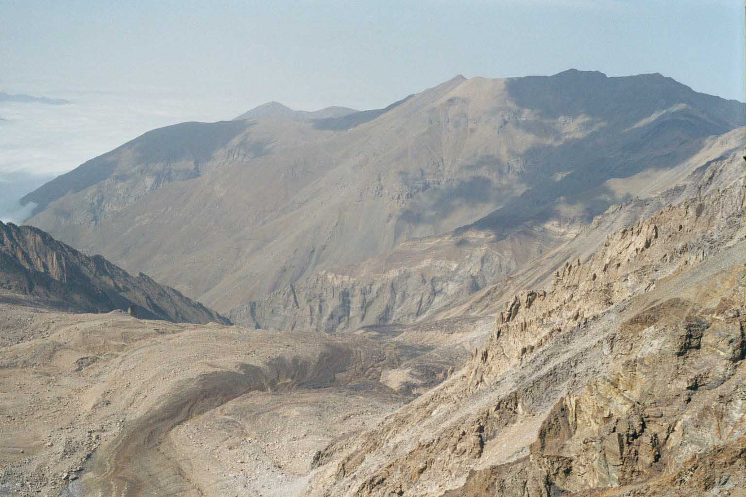
View to the northwest from the peak of Hersan
(4700m) of a rock glacier dropping down in to Alum chal. The clouds in the
distance are the Marine layer that comes off the Caspian sea. At times this
layer rises up the valleys into the high country and reduces visibility to
almost zero making navigation this type of country very exciting indeed.
Next year (2001) I will be working in this valley among others in an attempt
to map this part of the range well enough to feel confident that we havethe
various geologic relationships worked out. This should lead to a paperrelated
to the uplift history, and tectonic development of northern Iran.
Interested in this type of thing?
contact Gary Axen (gaxen@ess.ucla.edu)...or me and I'll give you the
low down on working with the Axeman.