Running in and around Santa Monica
Santa Monica is a runner's paradise. Here are some of my favorite
runs. Distances and elevations are approximate unless there is an
associated kml file, which you can load in google earth. After
loading the kml file, find the tour or active log in "places",
highlight the tour, click on the "play tour" icon, and enjoy a virtual
flight over the area!
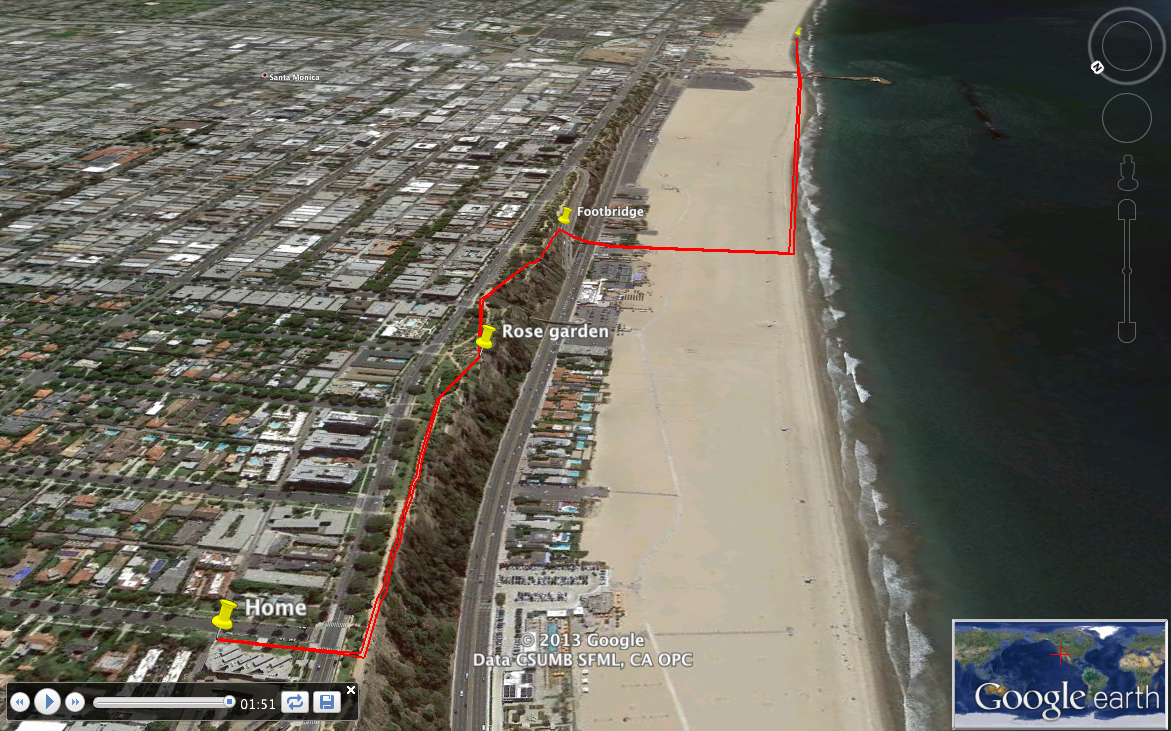
- Low-tide beach runs, various distances. Here is a
kml file for a 4.2 mile run.
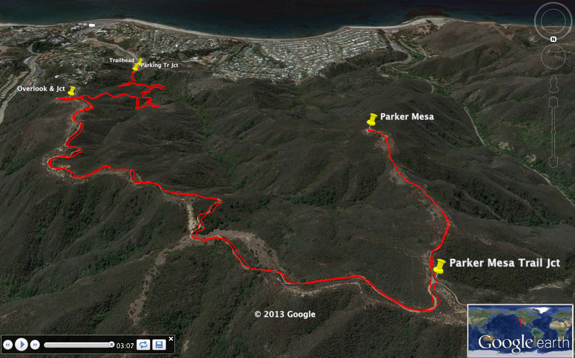
- Los Liones trail: from Los Liones Drive to Parker Mesa,
7.3 miles RT/1300 ft elevation gain/loss. Personal best is 40 minutes
from bottom to top. The kml file is
courtesy of modernhiker.com.
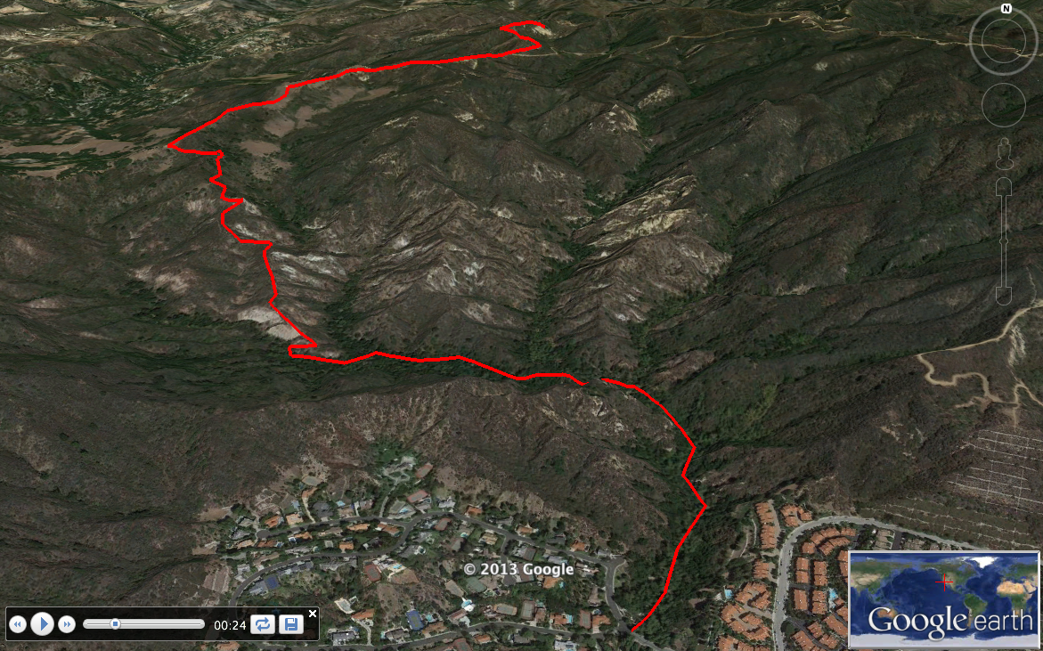
- Santa Ynez canyon: from Vereda de la Montura to Eagle rock, 7.0
miles RT/1320 ft elevation gain/loss. Personal best is 43 minutes
from bottom to top. The kml file is
adapted from a RunKeeper recording of my run on July 21, 2013.
- Temescal ridge trail: from entrance to Temescal SP (Sunset Blvd and
Temescal Canyon Road) to Skull Rock, 4.7 miles RT/1125 ft elevation
gain/loss.
- Backbone trail: from Will Rogers SP to distinctive four-trunked oak
tree, 5.6 miles RT/1300 ft elevation gain/loss.
Further afield
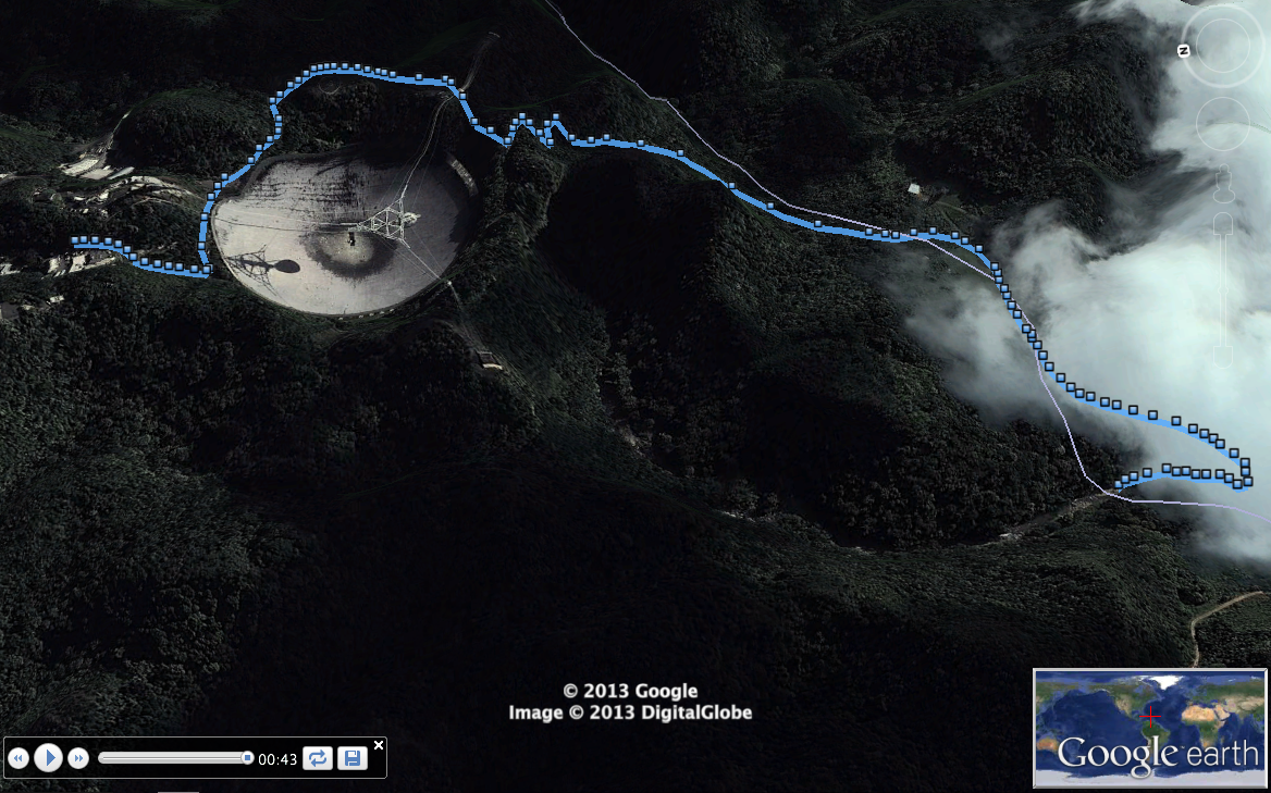
- Arecibo Observatory to Tanama River. This beautiful trail has a
jungle feel to it.
The
kml file is
loosely based on a RunKeeper recording of my run on Aug 16, 2013.
My phone was having a very hard time locking onto a GPS signal in these
steep and densely forested hills, so the waypoint locations are approximate.
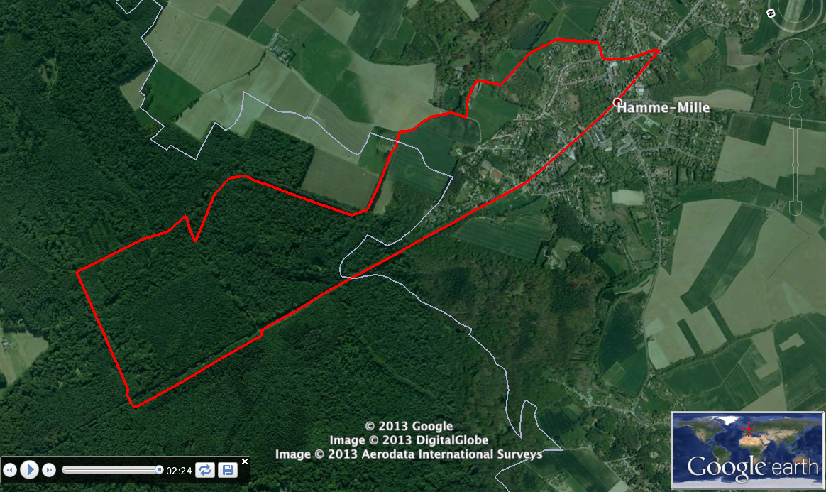
- A 5.7 mile loop in the fields and forest surrounding my hometown
in Belgium. I used to run ~10 miles in that forest about 5 times a
week. The kml file is based on a
RunKeeper recording.
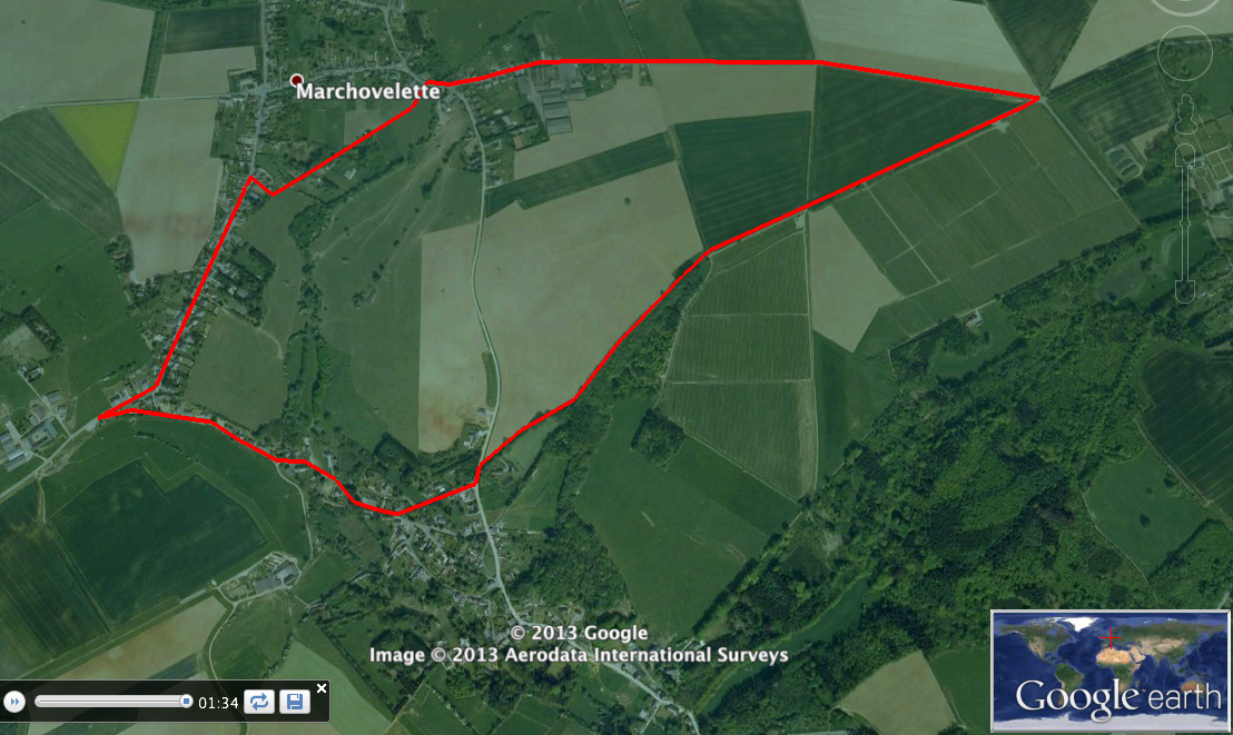
- A bucolic 3.5 mile loop from my dad's place in Belgium. The kml file is based on a RunKeeper
recording.
